top of page
HOME
SERVICES
ABOUT
CONTACT
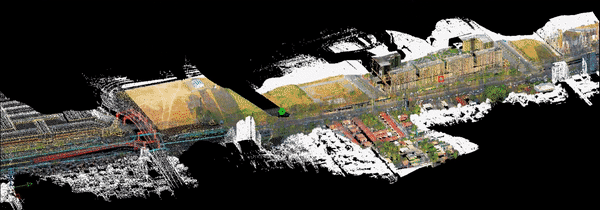
AERIAL LIDAR SURVEYS
Is also a type of a topographic survey that captures geospatial data collection method that uses laser technology mounted on an aircraft or drone to capture highly detailed and accurate 3D information about the Earth's surface.
REQUEST A QUOTE
BACK TO SERVICES
bottom of page